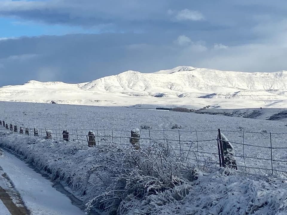
Following
close on the heels of the extreme winter weather system, which brought
widespread snow and bitter cold a week ago, yet another cut-off low is expected
to introduce a dramatic drop in temperature, with snow in places, for the
southern half of the country.
According to a statement issued by the South African Weather Service (SAWS) a cut-off low is expected to develop in the days ahead over the southern interior
of South Africa.
“This system will result in a sudden and widespread lowering of
maximum temperatures, especially over the Cape provinces, as early as tomorrow,
Wednesday, 19 July,” SAWS warned.
Apart from the impact of widespread, bitterly cold and
showery conditions setting in over the Cape provinces, SAWS expects snowfalls to occur over the higher mountains of the Cape
provinces tomorrow, spreading to include the Drakensberg Mountain peaks of
Lesotho and KwaZulu-Natal on Thursday.
“As
the cut-off low develops further and intensifies during the week, cold weather,
accompanied by overcast, rainy conditions, can be expected to set in over parts
of the Northern Cape, North-West, Gauteng, Free State, KwaZulu-Natal (KZN) and
Mpumalanga. This weather will persist during Friday, when heavier
falls can be expected over the western and central parts of the above-mentioned
provinces.
“Persistent rainfall is therefore likely to lead to localised
flooding and minor disruptions of road traffic. Moreover, there is also the
possibility of a few thunderstorms developing, some of which may become severe.
Large amounts of small hail as well as strong, gusty surface winds may also
contribute to icy roads and hazardous driving conditions. Motorists
encountering such conditions are advised to reduce speed and to observe safe
following distances in traffic.
“By
Saturday, much of the rainfall will be in the process of shifting to the
eastern and north-eastern provinces. The majority of the inclement weather is
expected to clear by Sunday.”
Impacts:
The
public and small stock farmers are advised that the very cold, wet and windy
conditions may pose a risk to livestock, vulnerable crops and plants. The
public is also warned to keep warm during these cold conditions.
A Yellow
level 2 warning has been issued for possible disruptive snow over the mountains
of Eastern Cape, valid for 19 to 20 July.
“Accumulation of snowfall is
expected to particularly affect the Dr Beyers Naude Local Municipality (LM).
Graaff-Reinet is expected to be significantly affected as well as the Chris
Hani District Municipality. Similarly, the mountain pass in the Barkly East
area will be affected from Wednesday evening into Thursday morning. The other
areas that will be affected are the Raymond Mhlaba LM, Elundini LM and Matatiele
LM.
“This weather
system is also expected to be accompanied by strong waves and winds along the
south-western and southern coast of the Western Cape. Consequently, a Yellow
level 2 warning for waves leading to difficulty in navigation at sea for small
vessels and personal water craft has been issued for the coastline between Cape
Columbine and Plettenberg Bay on Tuesday, 18 July through to Wednesday 19, July.