South Africans may have to prepare for hotter, drier spring conditions as a record-breaking El Niño makes its away across our shores the South African Weather Service (SAWS) warned.
This year’s El Niño is on track to be the strongest on record, threatening to unleash extreme weather across the globe and making 2027 potentially the hottest year ever recorded.
Below-normal rainfall
The phenomenon is expected to be the most intense El Niño in more than a century, the head of long-range forecasting at the UK’s Met Office warned last month.
SAWS has warned that South Africa is likely to experience below-normal rainfall and above-normal temperatures this spring as a strong El Niño event develops in the Pacific Ocean.
In a statement on Tuesday, SAWS said the latest predictions indicate that El Niño is likely to intensify further and could become the strongest event in living memory.
Last week, Western Cape Premier Alan Winde showcased the Western Cape Government’s El Niño–Southern Oscillation (ENSO) Summer Readiness Planning during a digital conference (Teams online public briefing), outlining the provincial government’s preparedness for the ENSO climate phenomenon.
ALSO READ: El Niño: Western Cape outlines summer disaster readiness
In the northern hemisphere this summer 13 000 people died due to excessive heat, according to Winde.
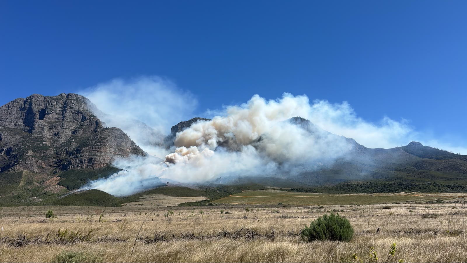
The Southern Cape, Overberg, informal settlements and Cape Winelands are hot spot areas for fires said Head of the Provincial Disaster Management Centre Dr Colin Deiner during the conference.
Ocean temperatures above threshold
A strong El Niño refers to an event in which three-monthly averaged sea surface temperature anomalies over the east-central tropical Pacific Ocean exceed 1.5°C compared with climatology.
During a very strong El Niño, this part of the ocean is 2°C warmer than normal.
The latest forecasts indicate that the current event is very likely to exceed the 3°C threshold.
SAWS said the latest weekly averaged sea surface temperature anomalies over the east-central tropical Pacific Ocean are already above the threshold that defines a very strong El Niño.
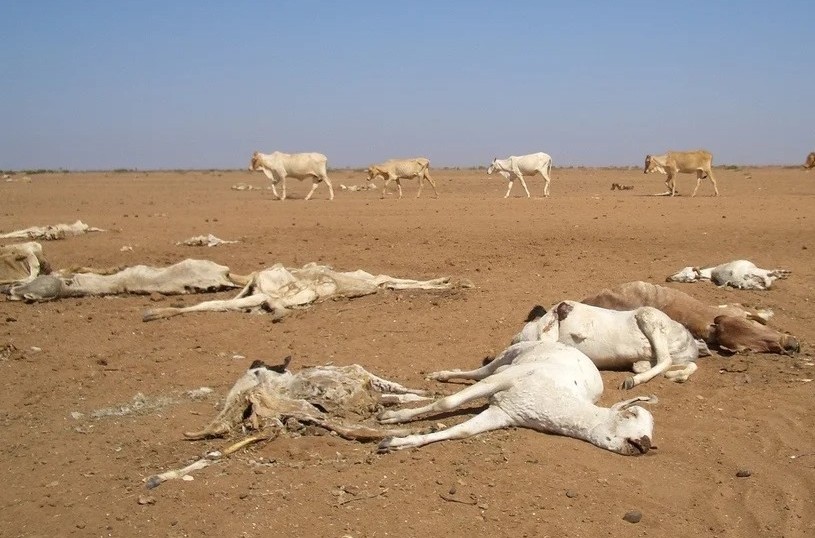
“Most El Niño events bring below-normal rainfall and above-normal temperatures to the southern African region. Two of the most impactful El Niño events for the region were those of 1982/83 and 2015/16, which brought widespread drought. The very strong El Niño event of 1997/98, however, was associated with slightly above-normal rainfall over parts of South Africa’s summer rainfall region. It should therefore be noted that, although below-normal rainfall is statistically the most likely outcome in southern Africa this summer, not every El Niño event is associated with drought,” the weather service said.
SAWS’ latest seasonal forecast for October to December this year indicates that below-normal rainfall is the most likely outcome over most of South Africa.
The period is also very likely to be marked by above-normal temperatures.
“The rainfall and temperature forecast for November 2026 to January 2027 is very similar to that for October to December 2026, with drier and warmer conditions over most of the country the most likely outcome.“
ALSO READ: Record-breaking El Niño threatens extreme weather worldwide
Potentially severe heatwaves
It should be noted that the expected very strong 2026/27 El Niño event, combined with global warming, will likely result in 2027 being the warmest year ever recorded.
The 2015/16 very strong El Niño event brought unprecedented heatwaves to the southern African region, the weather service said.
SAWS added that the southern African region has continued to warm up in the 11 years since then.
“If the 2026/27 El Niño event brings the expected below-normal rainfall to southern Africa, heatwaves are likely to occur more frequently.“
These heatwaves have the potential to be severe.
However, as current forecasts indicate the potential for an exceptionally strong El Niño, uncertainty remains about its eventual strength and regional impacts.
“For this reason, the extent of expected heatwaves and water scarcity associated with the event will be closely monitored and communicated to disaster management structures, weather-sensitive industries, the media and the public,” SAWS said.
The weather service has advised the public and weather-sensitive industries to follow monthly seasonal forecast updates and daily short-term weather forecasts to prepare for heatwave conditions and other high-impact weather events.
ALSO READ: El Niño: Western Cape outlines summer disaster readiness