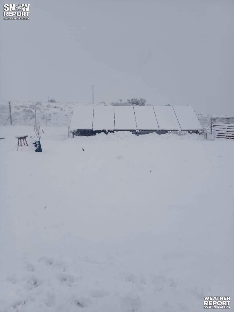

A powerful cut-off low will bring freezing temperatures, snowfall and heavy rain to parts of South Africa from Tuesday evening, with the South African Weather Service issuing multiple high-level warnings for the Eastern Cape and KwaZulu-Natal.
The weather system will hit the Eastern Cape, southern KwaZulu-Natal, the southern Free State and areas along the Lesotho border hardest, with conditions expected to clear from the west by Thursday.
Residents in affected areas are being urged to avoid non-essential travel, secure loose objects and stay informed through official weather updates.
Highest alert for coastal flooding
The most severe warning, an orange level 6 alert, has been issued for disruptive rain along the coast and adjacent interior between East London and Port Edward. Flooding of bridges, roads and settlements is expected, with property and infrastructure likely to be damaged.
An orange level 5 warning is in place for disruptive snow over the extreme north-eastern high ground of the Eastern Cape, where snowfall is expected to cause traffic disruptions, affect essential services and temporarily cut off some communities.
Yellow level warnings cover wider areas of KwaZulu-Natal and the Eastern Cape for disruptive rain and snow. A yellow level 1 warning for damaging coastal winds and waves between Cape Columbine and Cape Agulhas will make navigation difficult for small vessels and personal watercraft.
Day-by-day outlook for affected areas
Very cold and wet conditions will set in from Tuesday evening across the affected regions, with light snowfall beginning over higher ground as temperatures drop sharply.
Wednesday will bring the worst of the weather, with heavy rain lashing the KwaZulu-Natal and Eastern Cape coasts. Snowfall will continue over mountainous areas, particularly in the north-eastern Eastern Cape, while strong winds and rough seas will batter coastal areas.
Conditions will begin to improve from the west on Thursday as the system moves eastward. Rain and snow will persist in eastern areas during the morning but should ease by evening.
A gradual return to calmer, drier weather is expected across most regions from Friday into the weekend as the cut-off low clears completely. Temperatures will remain cold but should slowly recover, with coastal conditions improving for maritime activities.
Western and Northern Cape largely spared
The Western Cape will see cool conditions with slight rain and morning fog along parts of the coast on Tuesday. The extreme western parts will be fine and warm, but elsewhere can expect partly cloudy and cool to cold weather with isolated showers and thundershowers.
Temperatures will range from 8°C to 16°C in Cape Town, 10°C to 25°C in Paarl and as high as 14°C to 32°C in Vredendal. Fresh to strong easterly to south-easterly winds along the coast will reach near gale force along the south-west coast.
The Northern Cape will experience overcast conditions with morning fog along the coastline. The south-eastern parts will be fine but cool to cold and partly cloudy with isolated showers and thundershowers, scattered in the extreme south-east where it will be cloudy. Temperatures will range from 7°C in Sutherland to 27°C in Springbok, with fresh to strong southerly to south-easterly winds along the coast.
Both provinces will largely escape the severe weather, with only Tuesday seeing some isolated showers in the south-eastern parts of the Northern Cape and eastern parts of the Western Cape. From Wednesday onwards, mainly clear, dry conditions with a gradual warming trend into the weekend are expected.
Farmers warned to protect livestock
The South African Weather Service has advised farmers to take precautionary measures to mitigate the negative impact of the adverse weather conditions. Livestock should be moved to sheltered areas, and growers should protect vulnerable crops where possible.
ALSO READ: WC residents urged to conserve water, despite recent rainfall and snow