CAPE TOWN — The Western Cape government met on Sunday (10 May) with the provincial disaster management centre to coordinate disaster readiness measures in response to severe weather warnings issued by the South African Weather Service for two intense cold fronts expected to impact parts of the province until Tuesday.
According to the weather service, Sunday’s cold front brought less severe weather than initially anticipated. However, the impact-based warnings issued for Monday into Tuesday remain in effect.
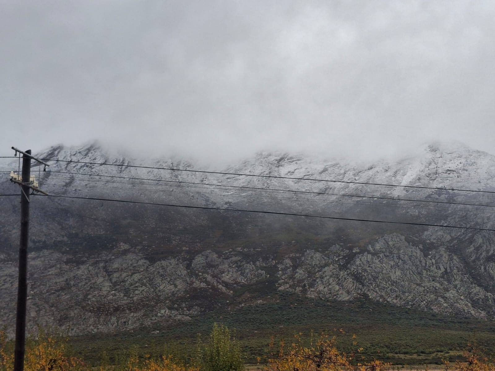
The cold fronts are expected to bring heavy rainfall, strong winds and rough sea conditions.
Weather warnings in force
An orange level 8 warning for disruptive rainfall and flooding along the escarpment, impacting the City of Cape Town and municipalities including Drakenstein, Stellenbosch, the western parts of Theewaterskloof, Breede Valley and Witzenberg. Some mountainous areas could receive between 200 mm and 300 mm of rain during this period.
An orange level 6 warning for strong to gale-force winds, with gusts of up to 100–120 km/h along the coastline. These conditions are expected to result in rough sea conditions, with wave heights of between 6.5 m and 7.5 m on Monday.
An orange level 5 warning for strong winds gusting up to 100–120 km/h over parts of the Cape Winelands and the western parts of the Central Karoo. These conditions may result in falling trees and damage to infrastructure.
A level 2 warning for wind and snow in high-lying areas.
The provincial disaster management centre has activated coordination mechanisms across all districts and within the City of Cape Town, with all disaster management centres placed on high alert ahead of the approaching weather system.
Municipalities and response agencies are actively preparing for possible flooding, road closures, wind damage and disruptions to essential services.
Schools in certain areas of the Cape Winelands Education District will also be closed on Monday 11 May. The decision has been taken after consultation with the Provincial Disaster Management Centre and the South African Weather Service (SAWS), Western Cape MEC for Education, David Maynier, said in a statement late on Sunday.
ALSO READ: Severe weather forces school closures in Cape Winelands
Impacts across Cape Winelands
The Cape Winelands District Municipality’s disaster management reported the following incidents on Sunday due to the severe weather.
Breede Valley
The Slanghoek low-water bridge is impassable, while the bridge at Scherpenheuvel/Merwestraat is open, but the river is rising rapidly. Residents should be aware that it may be closed at short notice.
Low-lying structures in the informal settlement at Geelkampie are flooded as water is not draining away.
Sandbags have been distributed to areas with known flood risk. All hotspots and rivers are being monitored.
Drakenstein
There are no serious adverse incidents in the Drakenstein area at this stage.
The parks section has attended to a complaint of trees falling across Sonstraal Road.
The stormwater department has cleaned various stormwater drains to prevent flooding.
The water level is rising in the Gouda Canal and is being monitored. All teams remain on high alert.
Langeberg
Bonnievale: The low-water bridge at Angora Street is closed to all traffic.
Stellenbosch
No incidents at this stage.
Witzenberg
Rain has been consistent. All residents booked in at Dennebos were checked out by 10:00 as a safety precaution.
Voortrekker Street in Ceres and Vos Street in Prince Alfred Hamlet have been cleared to prevent blockage of waterways and to ensure safe road conditions.
Garden Route response continues
Ongoing response efforts in the Garden Route continue to focus on humanitarian assistance, infrastructure restoration and support to affected communities.
The Western Cape government welcomes the national disaster classification issued by the national disaster management centre in response to the widespread impact of recent rainfall in the Garden Route and surrounding areas.
ALSO READ: Severe weather across multiple provinces declared a national disaster
This classification will enable more effective budget allocation and improved transversal cooperation between spheres of government and departments in addressing the aftermath of the storm.