
CAPE TOWN – The Western Cape Government has placed all disaster management centres on high alert as the South African Weather Service warned of two intense cold fronts expected to strike parts of the province from Sunday until Tuesday.
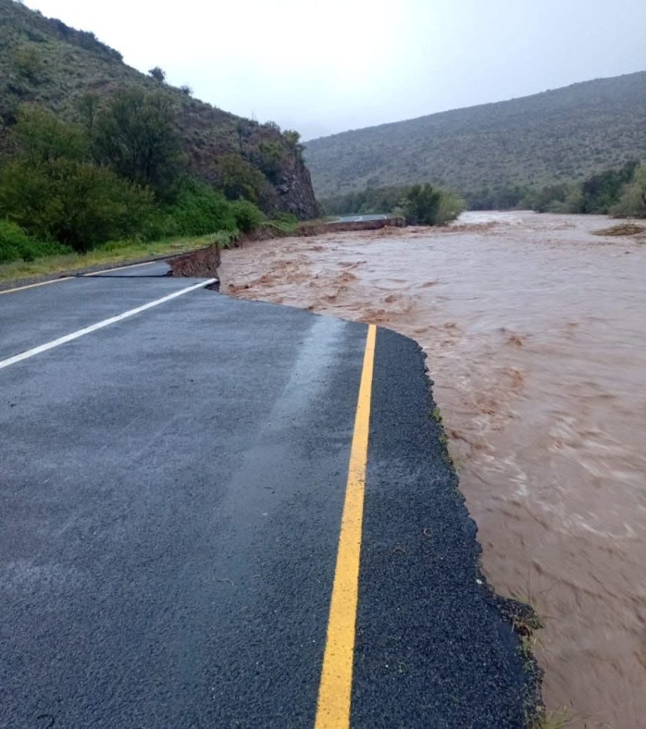
The approaching weather systems come as emergency services continue assisting communities in the Garden Route and surrounding areas still recovering from severe flooding over the past week.
The South African Weather Service has issued multiple warnings for heavy rainfall, strong winds and rough sea conditions across the province.
An orange level 8 warning for rainfall accumulation of 100mm to 200mm has been issued along the escarpment, affecting Drakenstein, Stellenbosch, western parts of Theewaterskloof, Breede Valley and Witzenberg municipalities. Some mountainous areas could receive up to 200mm to 300mm during this period.
Strong to gale force winds with gusts up to 100 – 120km/h are expected along the coastline, accompanied by rough sea conditions. Waves of between 4m and 6m are forecast for Sunday, increasing to 6.5m to 7.5m on Monday. This has triggered an orange level 6 warning.
An orange level 5 warning has been issued for windy conditions gusting up to 100 – 120km/h over parts of the Cape Winelands and western parts of the Central Karoo. These conditions may lead to falling trees and damage to infrastructure.
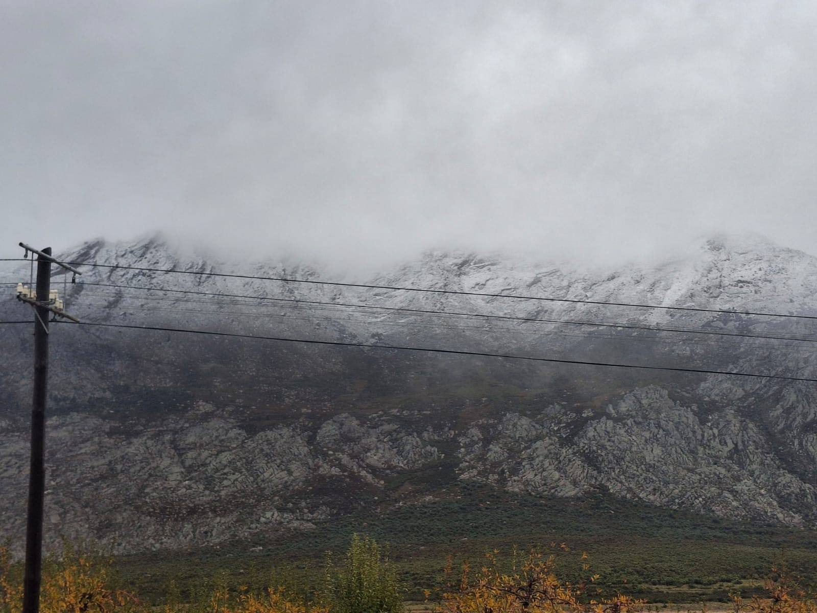
A yellow level 2 warning for disruptive snowfall of 10 – 20cm has been issued for high-lying areas of the Karoo Hoogland municipality and parts of the Cape Winelands District in mountain areas.
The Provincial Disaster Management Centre has activated coordination mechanisms across all districts and in the City of Cape Town. Municipalities and response agencies are preparing for potential flooding, road closures, wind damage and disruptions to essential services.
In the Garden Route, ongoing response efforts continue to focus on humanitarian assistance, infrastructure restoration and support to affected communities.
Residents have been urged to monitor official communication channels for updates, avoid unnecessary travel during severe conditions, exercise caution near rivers, low-lying bridges and coastal areas, and secure loose objects ahead of the strong winds.
ALSO READ: Cold front to hit parts of the Western Cape and Namakwa on Sunday


You must be logged in to post a comment.