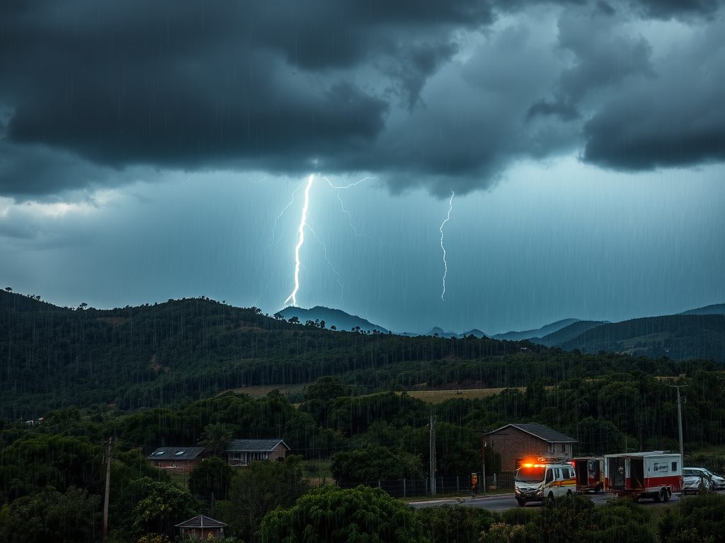
A cut off low is expected to move eastwards along the Eastern Cape escarpment, with a surface high pressure to the south of the country.
These two systems will combine to generate showers over vast areas south of the escarpment from Saturday morning into Sunday. Due to the high saturation of soil, flooding is likely given the amounts of rainfall, which will range from 40 to 70mm over the period.
Affected Areas:
- Buffalo City
- Great Kei
- Ingquza Hill
- King Sabata Dalindyebo
- Mbhashe, Mbizana
- Mhlontlo
- Mnquma
- Ntabankulu
- Nyandeni
- Port St Johns
- Umzimvubu
Impact
Flooding of susceptible settlements (formal/informal), roads, low-lying areas and bridges. Damage to infrastructure Mudslides/Rockfalls Difficult and dangerous driving conditions due to slippery roads and reduced visibility. Traffic disruptions due to flooding. Danger to life.
Instructions:
- Listen for regular weather updates via radio and/or social media.
- Postpone travel arrangements until it is safer to travel.
- Avoid crossing rivers and swollen streams.
- Monitor the weather conditions and if need be, identify areas to safely store valuable items from flood water.
ISSUED BY SA WEATHER SERVICES