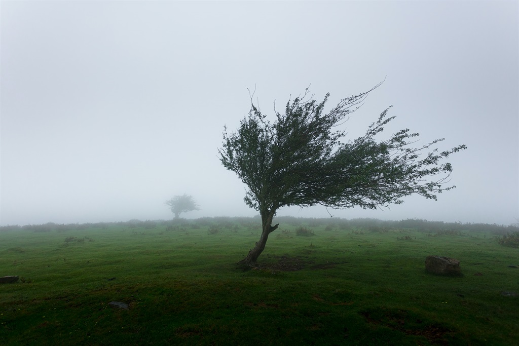
The South African Weather Service has issued a weather warning (yellow level) for the Eastern Cape for damaging winds.
A cold front with a deep low is expected to move past the south coast, resulting in strong westerly to south westerly winds along the south coast and adjacent interior, spreading to East London by late afternoon, SAWS has warned.
“The winds are expected to reach gale force along the coast between Plettenberg Bay and East London, where significant impacts are expected.”
Strong to gale force winds could results in localised damage to settlements and also some transport routes and travel services may be affected by wind and falling trees.
“This will also affect areas offshore where localised disruption of small harbours or a port for a short period of time and small vessels at risk of taking on water and capsizing in a locality. This could result in difficulty in navigation in hampered progress due to strong wind.”
SAWS has advised people to stay indoors and where possible stay away from windows that open due to the strong winds.
“Be aware of the following: sudden cross winds if traveling, especially between buildings, fallen trees or power lines and flying debris. Ensure that all temporary structures are well anchored.”
- This warning is valid to 09:00 on Monday, 15 August.
- Nelson Mandela Bay,
- Buffalo City,
- Kouga,
- Great Kei,
- Kou-Kamma,
- Mbhashe,
- Mbizana,
- Mnquma,
- Ndlambe,
- Ngqushwa,
- Ngquza Hill,
- Nyandeni,
- Port St Johns,
- Sundays Rriver Valley,
- Ndlambe,
- Ngqushwa