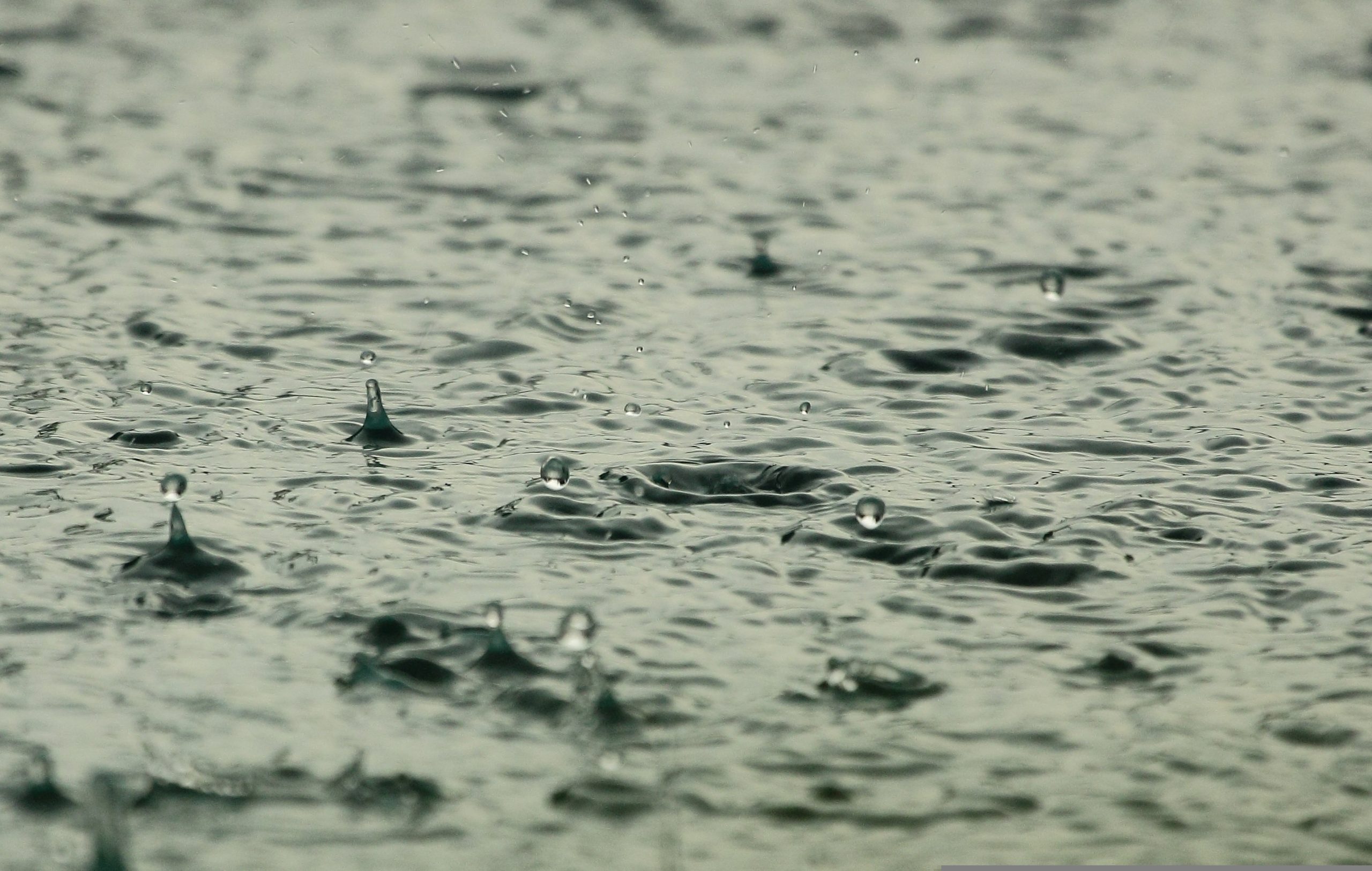
Good rainfall was measured in the catchment area of one of Nelson Mandela Bay’s biggest dams – the Kouga Dam.
According to rainfall figures released this morning by Garth Sampson from the South African Weather Service, a total of 45.5mm rain was measured at the Kouga Dam over the past three days.
The Gamtoos Irrigation Board posted on their Facebook page today that the Kouga Dam is currently at 31.31%.
As of this morning, 28 June, the current combined levels of Nelson Mandela Bay’s dams are at 26.48% – 21.06% of this amount is available water, the rest is dead storage.
Another good figure was 30.8mm of rain measured at Kareedouw.
Nelson Mandela Bay also received some welcome rain from 26 June to today.
- Airport – 37.6
- Third Avenue dip – 51.4
- Chetty – 36.6
- Coega – 29.2
- Flower Reserve – 29.4
- St Albans – 52.2
- Kariega – 25.6
- Woodridge – 24.3
Sampson also shared the rainfall figures for the Langkloof on his Facebook page.

In the meantime the South African Weather Service has issued a statement warning about snow and very cold temperatures across the country this week.
“Some road network and mountain passes connecting communities on the southern Drakensberg in the Eastern Cape could be closed on Thursday, following the potential disruptive snow on the roads and railways, especially during the morning hours. Areas of potential impacts include Molteno, Barkley East, Lady Grey and Matatitele and there could be isolated loss of livestock in this northern region,” SAWS said in a statement.
Counterparts of the South African Weather Service in Lesotho have issued a forecast for bitterly cold temperatures with heavy snowfall over Lesotho and these conditions may spill over to QwaQwa in the north-eastern Free State.
“These conditions are expected to result from the passage of a cut-off low (COL) which is currently situated along the west coast of the country. Very cold temperatures have already set in on the western regions of the Free State and North West provinces. Very cold conditions could claim livestock in places over the western region of the Northern and Western Cape provinces.
“Moreover, bursts of showers and excessive lightning may result in localised damage of infrastructure and settlements but some isolated thunderstorms could produce strong, damaging winds over the stated regions. Swells may reach 6.5 meters offshore of the south coast of the Eastern Cape and those entering the harbour may cause a lot of boat movements, which can damage some vessels and break mooring lines.”
Disruptive rain in places has already impacted some communities along the south coast of KwaZulu-Natal and the Wild Coast of the Eastern Cape on Tuesday and these rainy conditions are likely to continue on and off into Wednesday, 28 June.
“Widespread clearance is expected later on Thursday. The remainder of the week will see cool and largely rain-free conditions.”