
A powerful cold front is expected to make landfall over the Western and Northern Cape on Sunday, bringing cold to very cold, wet and windy conditions as well as rough sea conditions to South Africa during the Women’s Day long weekend.
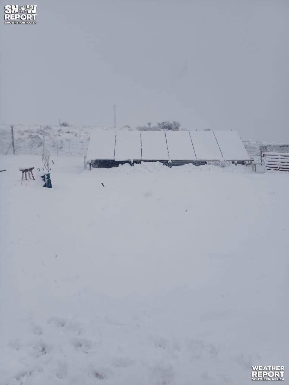
The South African Weather Service (SAWS) says the weather system, associated with a steep upper-air trough, is expected to spread to the Eastern Cape as it moves eastwards, with snowfall anticipated over mountainous areas.
On Monday, 10 August, the upper-air trough is expected to deepen even further as it moves over the central to eastern parts of the country, spreading cold to very cold conditions with rain and showers further inland. Scattered to widespread rain and showers are expected over the southern parts of the country, while snow is expected over the mountainous areas of the Free State, KwaZulu-Natal and Mpumalanga.
Day-by-day outlook
Friday, 7 August, is expected to be generally fine and cool to warm across many regions, with some areas experiencing partly cloudy skies and isolated showers. This day will act as a transition before the onset of the more severe weather.
Saturday, 8 August, will remain largely calm, although the cold front will be approaching from the west.
Sunday, 9 August, will see the powerful cold front and associated upper-air trough make landfall over the Western and Northern Cape, bringing cold to very cold, wet and windy conditions, rough seas and snowfall over mountainous areas.
Monday, 10 August, will see the weather system move inland, with the upper-air trough deepening over the central and eastern parts of the country. Widespread rain and showers, along with cold to very cold temperatures, are anticipated across much of the country.
Main impacts
The main impacts associated with this weather system include localised flooding in low-lying areas, roads, bridges and informal settlements due to persistent rainfall.
Damaging winds may result in fallen trees, damage to roofs and infrastructure, power interruptions and hazardous driving conditions.
Damaging waves and rough seas along the coastline pose a risk to maritime activities and coastal infrastructure.
Very cold conditions may increase the risk of exposure for vulnerable communities and place stress on livestock.
Snow over mountain passes may result in hazardous travel conditions, road closures and disruptions to transport.
SAWS has urged the public, motorists, farmers and disaster management authorities to remain informed by following updates and warnings issued by the Weather Service and to take the necessary precautions as this weather system progresses across the country.
Emergency and disaster management services remain on high alert.
ALSO READ: Cold front clears as KwaZulu-Natal road conditions stabilise