
A University of the Western Cape study has revealed a concerning drop in groundwater levels across Cape Town, with 80% of boreholes showing long-term decline over a 17-year period.
The research, which analysed borehole data from 2007 to 2024, found groundwater levels had dropped between nearly two metres and as much as 17 metres across much of the city.
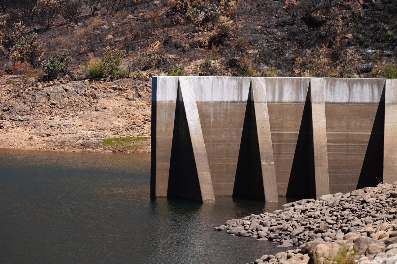
The findings come as Cape Town faces mounting water pressure, with dam levels falling to 47.8% in April. City officials have warned that water restrictions could be introduced later this year if daily consumption does not decline.
Lead researcher Dr Sesethu Fikileni, working with colleagues Sandiso Zulu and Thokozani Kanyerere from the Department of Earth Science, used a groundwater simulation framework to predict water availability and flow direction for both the Cape Flats Aquifer System and Malmesbury Shale Aquifer System.
The study confirmed that Cape Town’s main aquifer system is double-layered, separated by rock formations that still allow water to move between upper and lower aquifers.
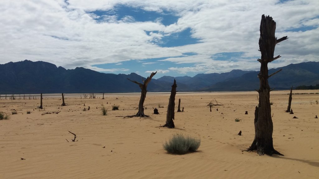
The data showed clear seasonal patterns, with groundwater levels rising after winter rains and becoming shallow between August and October. During dry periods, particularly during the 2017 to 2019 drought, groundwater levels dropped. Boreholes tapping the shallow Cape Flats Aquifer were particularly vulnerable to these dry conditions.
While a small number of boreholes showed rising groundwater levels, researchers said these increases were likely due to irrigation, accidental recharge from leaking infrastructure, or water leaking from the deeper aquifer into the shallow one.
ALSO READ: Western Cape dam levels continue to fall as water restrictions loom
The study found that increasing urban development is likely reducing natural recharge by limiting how much rainwater soaks into the ground. In some cases, groundwater levels appeared to be influenced more by human activity, such as abstraction, irrigation and infrastructure leaks, than by rainfall alone.
Dr Fikileni said accurate predictions and understanding of underground water flow direction would help policymakers make better decisions when allocating water resources.
“To address the challenges of sustainable groundwater management, it is crucial to have a good understanding of the current status and to forecast future states of this indispensable resource. Therefore, modelling is the cornerstone for future preparedness during extreme weather events like droughts and floods,” he said.
The researchers cautioned that treating Cape Town’s aquifer as a single water layer could yield misleading results and lead to poor management decisions. They argued that groundwater planning, monitoring and modelling must recognise the dual nature of the aquifer system.
ALSO READ: Cape Town’s next 90 days are critical as dam levels drop to 55%


You must be logged in to post a comment.