

The cold and wet conditions over large parts of South Africa, will continue tommorow.
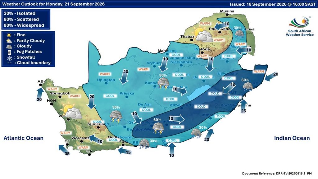
The South African Weather Service gave warnings for the rest of Saturday, with partly cloudy and cool to warm condition predicted for Sunday.
There will be isolated to scattered showers and thundershowers.
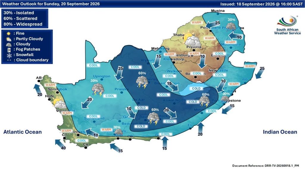
A Level 5 warning with severe thunderstorms accompanied by heavy downpours with a possibility of damaging winds, excessive lightning and hail as well as flooding is expected over the north-eastern parts of the Northern Cape and the extreme western parts of the Free State.
ALSO READ: Warnings go out about thunderstorms in Bloemfontein
Severe thunderstorms accompanied by heavy downpours with a possibility of damaging winds, excessive lightning and hail, leading to localised flooding is expected over the western parts of the Free State, extreme western parts of the North West, and the central parts of the Northern Cape.
Damaging winds, localised interruption to power and communications and difficult driving conditions is expected over Northern Cape except in the south-east, the western and northern parts of the Western Cape as well as the western parts of the North West.
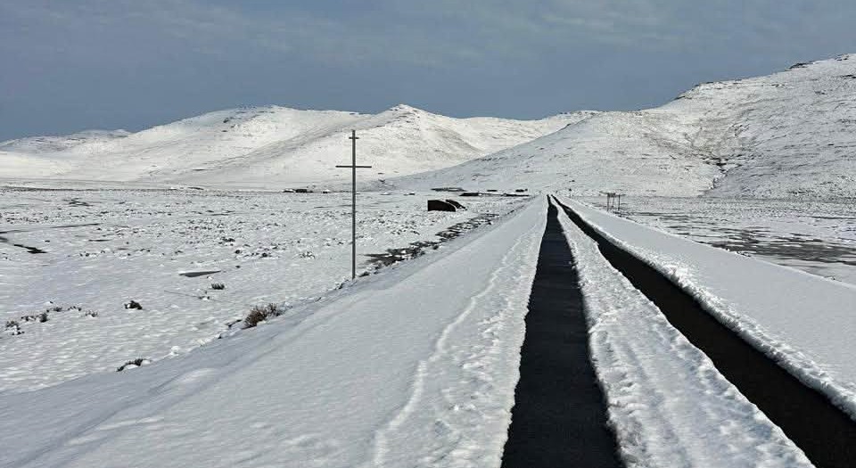
Snow fell yesterday in Lesotho on Sani Pass. According to Lesotho on Track, there was no further snowfall overnight, and with the rain and temperatures starting to rise, the snow is melting fairly quickly.
The tar road from the Lesotho border at Sani Top through to Mokhotlong remains closed.



You must be logged in to post a comment.