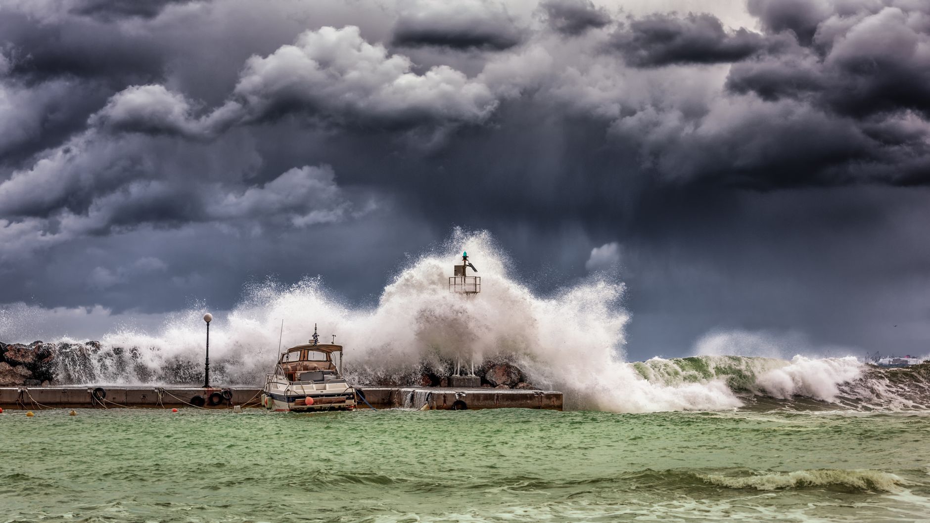
Three hurricanes spinning through the Pacific Ocean at the same time have scientists pointing to a historically powerful El Niño weather pattern as the driving force behind the unusual phenomenon.
Tropical Storm Marie gained strength late Wednesday evening and became a hurricane off the Baja California coast, joining two Category 4 hurricanes already tracking westward across the Pacific.
Hurricane Karina and Hurricane Lowell, both major storms, were already churning through Pacific waters when Marie intensified, creating what climate experts describe as a rare meteorological event.
Warmer waters create perfect storm conditions
Julia Cole, a climate scientist at the University of Michigan, said seeing three hurricanes simultaneously is uncommon. The El Niño warming creates ideal conditions for these storms, which draw their power primarily from warm ocean waters.
“When the tropical Pacific is warmer than normal we see an increase in strong storms,” Cole explained.
Hurricane Lowell sat roughly 710 kilometres south of Hilo, Hawaii on Thursday and forecasters expect it to maintain major hurricane status for several days as it continues moving west, according to the National Hurricane Center.
The centre warned that swells from Lowell would likely generate dangerous surf and rip current conditions across parts of the Hawaiian Islands over the coming days. Forecasters noted their long-range predictions carried more uncertainty than typical forecasts.
Hawaii is still dealing with damage from Hurricane Lala, which skirted the southern portion of the Big Island last month, delivering destructive winds and serious flash flooding.
Marie strengthens as Karina weakens slightly
The National Hurricane Center reported Wednesday evening that Karina had weakened somewhat as it travelled northwest, though the storm should remain at hurricane strength for at least another couple of days.
Marie was positioned 603 kilometres southwest of Baja California’s southern tip and forecasters anticipated the storm would continue strengthening through Friday.
Warm ocean waters act as fuel for tropical storms, whilst El Niño’s atmospheric effects reduce vertical wind shear over the Pacific, establishing favourable conditions for hurricanes to gain strength.
Benjamin Kirtman, an atmospheric scientist at the University of Miami, said the climate system has warmed substantially over the past two decades. Sea surface temperature measurements show how much warmer the ocean runs compared to historical averages, and current readings approach record highs.
“There’s no other way to put it – it is juicy out there right now,” Kirtman said.
A comparable situation unfolded in 2015, another intense El Niño year, when Hurricane Kilo, Ignacio, Jimena and Tropical Depression 14E crossed the Pacific simultaneously.
Global impacts already visible
The 2026 El Niño carries a 69% probability of becoming the strongest on record, according to the National Oceanic and Atmospheric Administration. The phenomenon is already triggering extreme weather worldwide despite not reaching peak intensity until October through December.
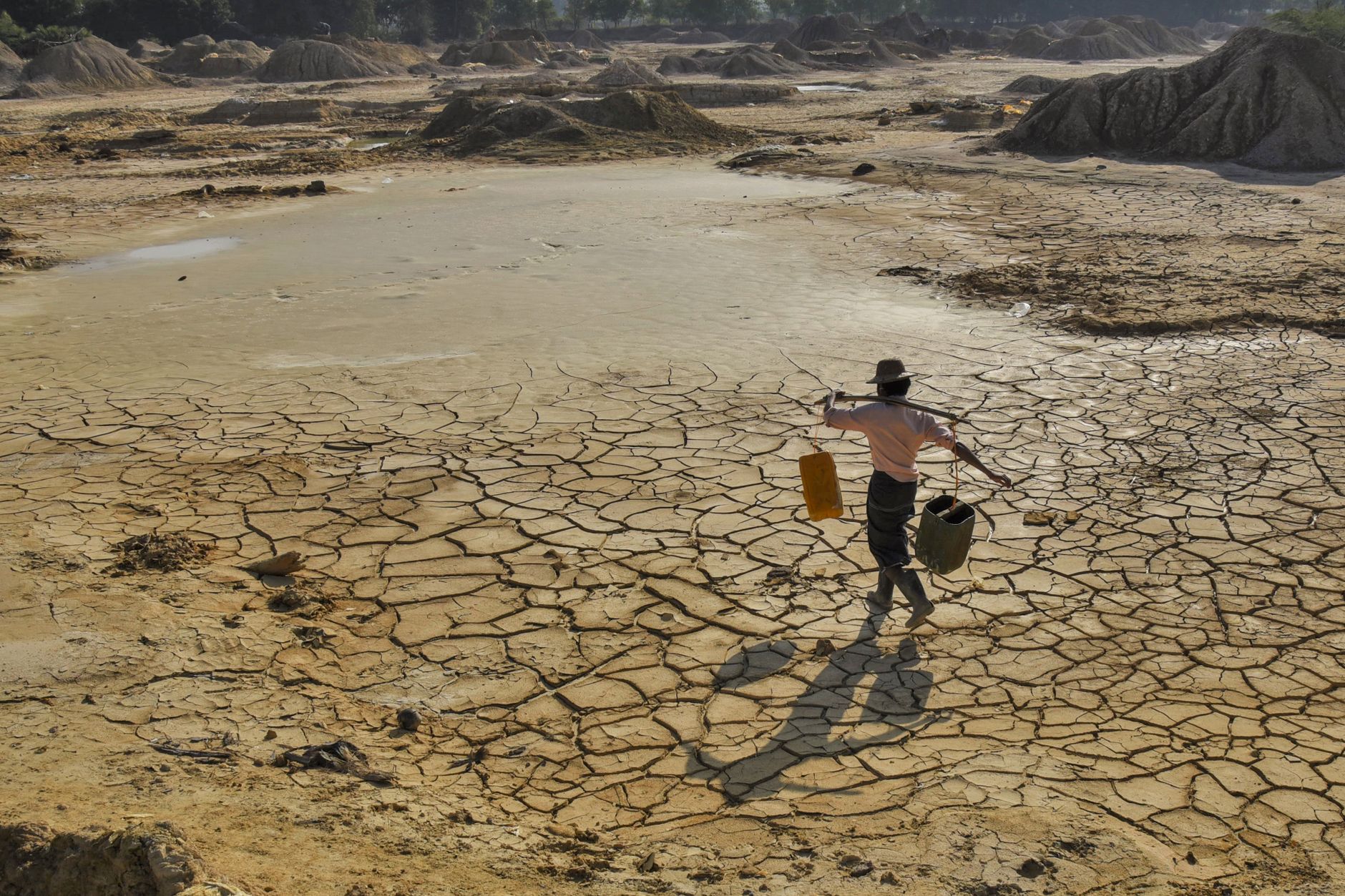
Peru, which catches more anchovy than any other nation, faces severe losses as warming seas have devastated production, industry officials report. In Sudan, delayed rains blamed on El Niño have caused Nile water levels to fall dramatically.
El Niño represents the warming phase of a natural cycle in the tropical Pacific called the El Niño-Southern Oscillation, occurring every two to seven years.
The pattern begins when east-to-west trade winds weaken, allowing warm water that typically accumulates in the western Pacific Ocean to move back eastward and rise to the surface.
When these warmer-than-average surface temperatures persist for several months, they generate increased storms and cloud cover over the region. These conditions create ripple effects throughout the global atmosphere, bringing hotter and drier conditions to some areas whilst delivering cooler and wetter weather to others.
Climate change amplifies El Niño’s effects. A warmer atmosphere retains more moisture, making El Niño-related rainfall more extreme. Rising temperatures also dry out soils, intensifying drought in regions where El Niño typically brings dry conditions.