Floods remained one of the most disruptive and deadly climate-related hazards worldwide in 2025, with new international research revealing how shifting weather patterns and underlying hydrological conditions combined to intensify impacts across multiple regions.
An international team of climate and hydrological scientists, including Professor Timothy Dube from the University of the Western Cape’s Institute for Water Studies, analysed extreme flood events and population exposure across every continent. The study, published in Nature, found that reported damages exceeded US$28 billion with more than 4 200 flood-related fatalities worldwide, despite 2025 ranking in the lower tier of the past two decades for modelled flood exposure.
The research showed that flood disasters are rarely driven by rainfall alone. According to the study, flood impacts arise from the interaction of meteorological extremes with saturated soils, river systems and human settlement patterns. “Antecedent hydrologic conditions amplified impacts in several regions,” the authors noted, particularly where heavy rainfall followed earlier flood events.
Using high-resolution global hydrodynamic modelling, the team mapped extreme river flows and population exposure throughout 2025. The analysis found that flood anomalies were geographically concentrated, shaped by large-scale atmospheric circulation and ocean-atmosphere variability.
Regional patterns highlighted diverse flood-generating mechanisms. In the United States, flash floods in Texas resulted from intense convective storms falling on drought-affected catchments, producing abrupt peak flows and significant loss of life. In southern Brazil, renewed rainfall over already saturated basins triggered widespread re-flooding, prolonging disruption after the devastating 2024 events.
ALSO READ: Heavy rains lash Kouga and Garden Route, closing roads and forcing evacuations
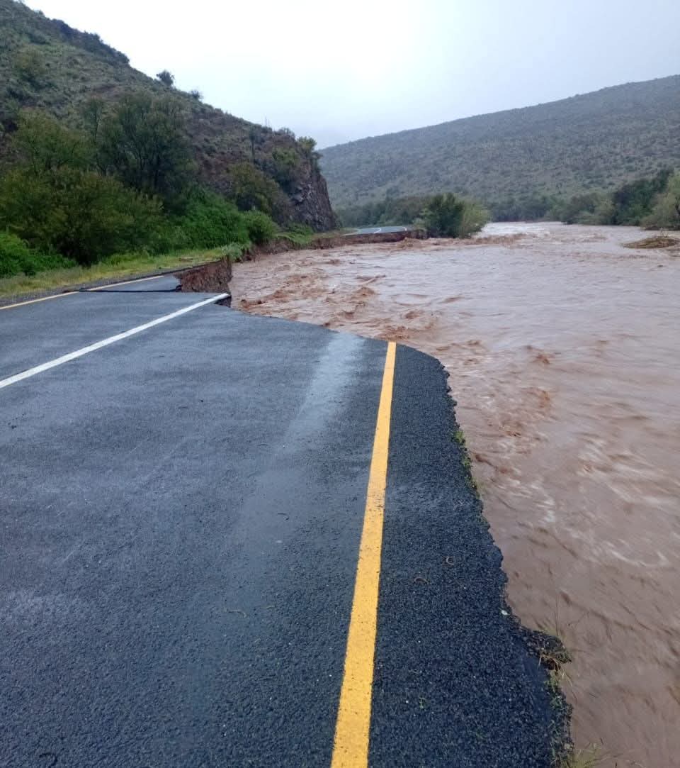
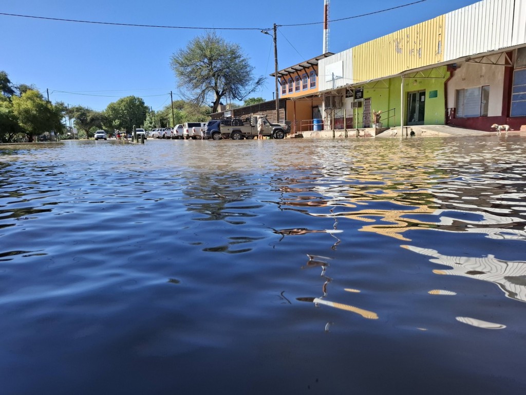
The study identified 2025 as among the most hydrologically extreme years across Africa in recent decades, with extensive regions showing elevated annual peak river flows. Particularly severe impacts were recorded around Lake Tanganyika, where prolonged seasonal rainfall caused sustained flooding and displacement, and in South Africa’s Eastern Cape, where a slow-moving cut-off low delivered more than 300 mm of rain in 48 hours, resulting in infrastructure damage and loss of life.
ALSO READ: Social worker dies after tree falls on car amid Garden Route storm chaos
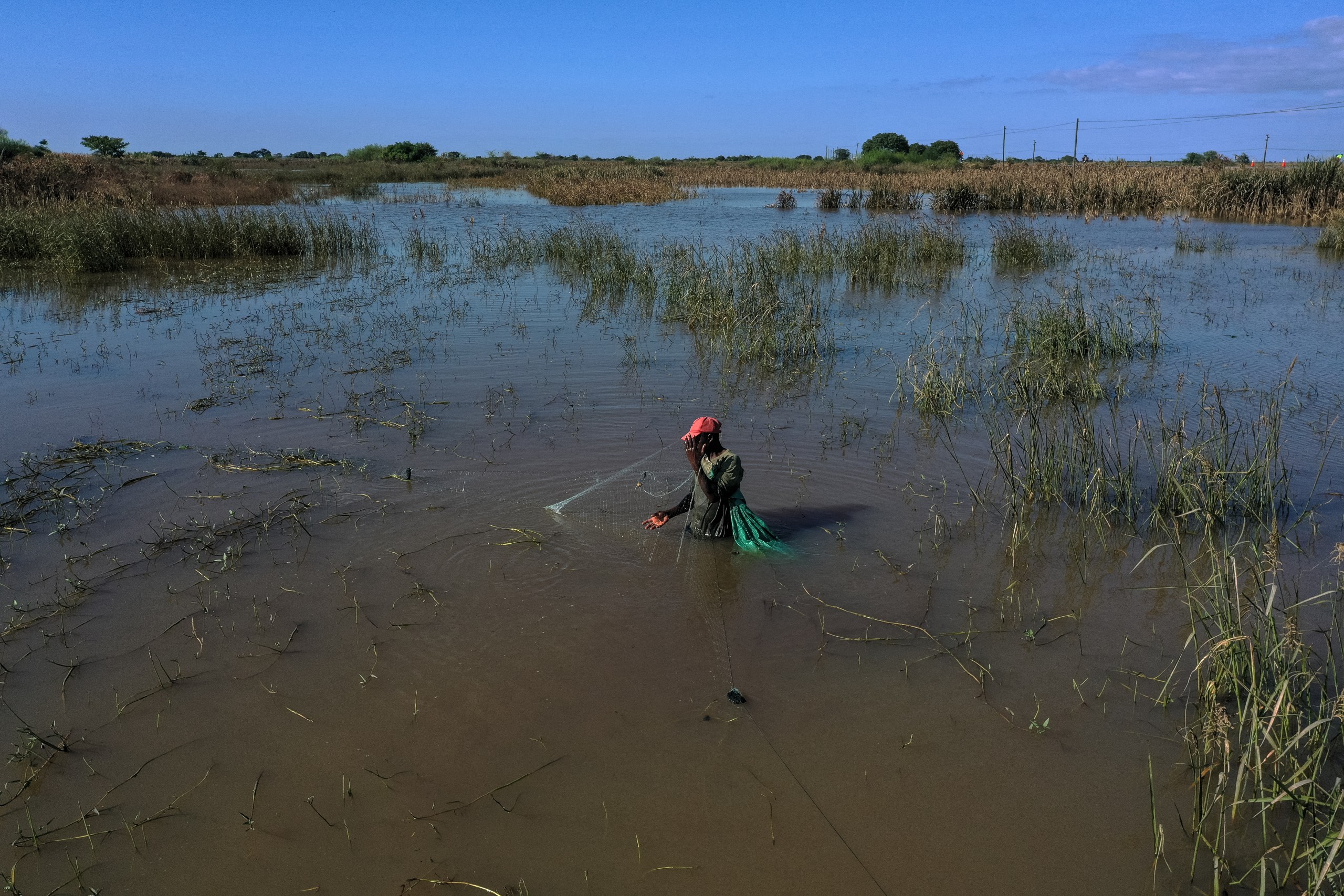
Asia accounted for approximately 56% of the global population exposed to extreme river flows, with intensified monsoon rainfall, typhoons and cyclonic systems driving large-scale flooding and fatalities across South and Southeast Asia.
The study noted that its flood maps represent hydrological extremity and flood potential rather than uniform flooding. Hotspots of elevated annual maximum streamflow identify locations experiencing anomalously high peak flows, but do not imply that flooding occurred uniformly across these areas.
By combining global modelling with reported disaster impacts, the research underscores the growing importance of early warning systems, preparedness and anticipatory capacity as climate change is expected to increase the frequency and intensity of extreme weather events.
ALSO READ: Western Cape floods force road closures as heavy rains continue


You must be logged in to post a comment.