
The City of Cape Town is calling on residents to participate in the review and update of its crucial Bioregional Plan (2015), which is being renamed the City of Cape Town Biodiversity Spatial Plan (2025).
This updated policy will guide future planning and development in the city, ensuring the preservation of its rich biodiversity. The public has until Thursday 13 March to submit their comments.
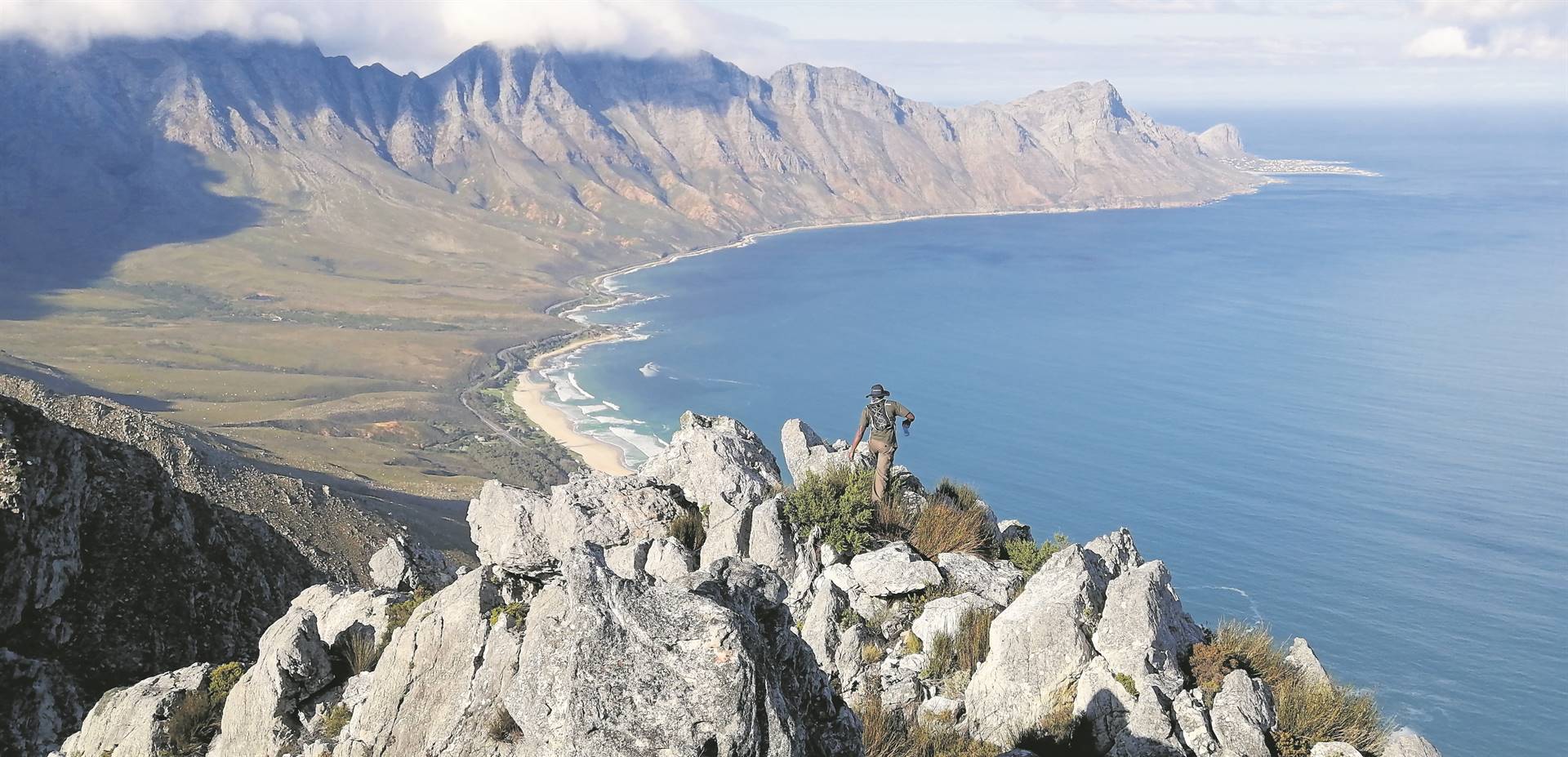
Cape Town, recognised as the most biodiverse city globally, was a pioneer in South Africa by developing and implementing a spatial biodiversity plan. Currently, 22,72% (55 703 ha) of the municipal area is conserved land, managed through a partnership between the City and various conservation organisations. The City itself manages 20 045 ha across 22 nature reserves and 16 Biodiversity Agreement Conservation Areas, many of which are open to the public. These include popular destinations like the Helderberg and Steenbras Nature Reserve, which offer stunning views and opportunities to experience the unique fynbos ecosystem.
“This Biodiversity Spatial Plan encompasses the entire city,” explained Eddie Andrews, the City’s Deputy Mayor and Mayoral Committee member for Spatial Planning and Environment, “and has been updated to reflect the revised red list of threatened ecosystems, the realities of climate change, and the importance of strategic water source areas and groundwater protection zones.
He emphasised the plan’s alignment with the latest national best practices for spatial biodiversity planning.
The updated plan aims to minimise conflict between environmental concerns and other sectors by providing current information on biodiversity priorities. This information will guide spatial planning, environmental assessments, natural resource management, protected area expansion, and sustainable development. A key component of the plan is the Cape Town BioNet map, which identifies critical terrestrial and aquatic features essential for conserving native biodiversity and maintaining ecosystem function. “The BioNet map is based on legislation, scientific data, best practice, and expert input,” stated Andrews. “It represents the least land-hungry and most sustainable option for meeting national biodiversity targets.”
The BioNet map categorises biodiversity areas based on their condition, including Protected Areas, Conservation Areas, Critical Biodiversity Areas (1a, 1b, 1c, and 2), Ecological Support Areas (1 and 2), and Other Natural Areas. This detailed mapping allows for informed decision-making regarding land use and development.
V The City encourages all residents to review the draft Biodiversity Spatial Plan, available at City libraries and on the City’s website, and provide their valuable input.
V Comments can be submitted online at: Comment on the draft Cape Town Biodiversity Spatial Plan 2025, via email to public.participation@capetown.gov.za, or by calling 0800 212 176 for assistance.


