Liesbeek River flooding raises concerns about urban river resilience
Liesbeek River flooding has damaged restoration sites, infrastructure and surrounding properties following severe storms. This has raised fresh concerns about the growing pressure on Cape Town’s urban river systems.
What caused the flooding
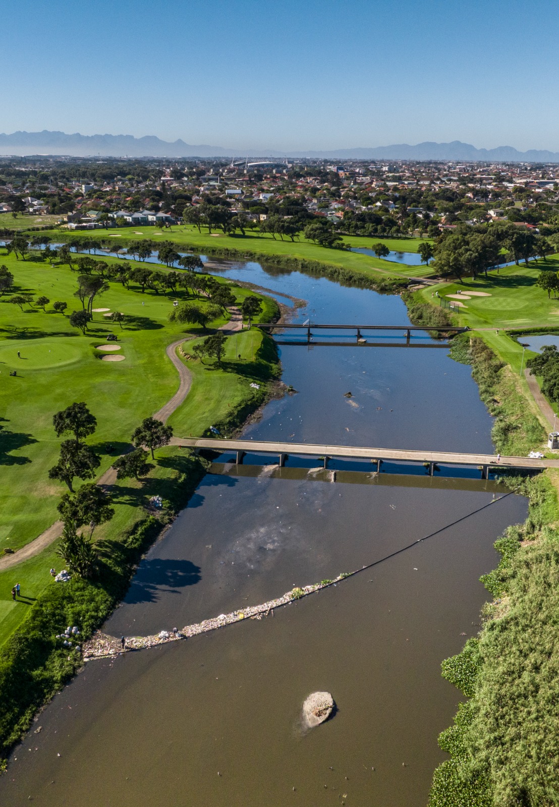
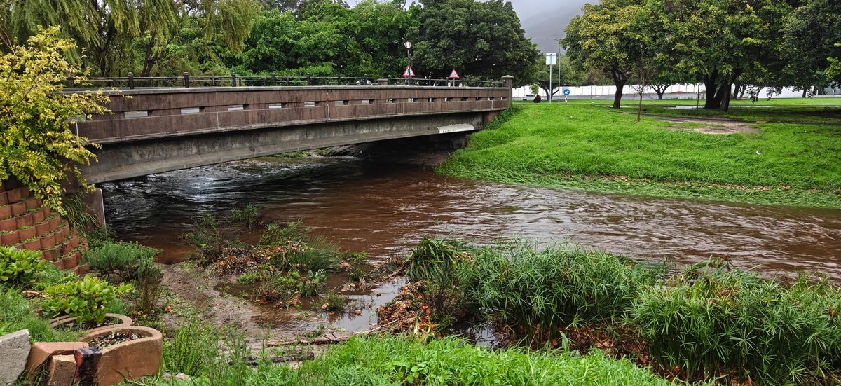
Heavy rainfall across Cape Town on 11 and 12 May caused river systems to swell and triggered widespread disruption across parts of the city. The Liesbeek River bore the impact along its entire length. The Liesbeek flows from Table Mountain, above Kirstenbosch, through Bishopscourt, Newlands, Rondebosch, Rosebank and Mowbray. Before joining the Black River in Observatory and finally emptying into Table Bay at Paarden Eiland.
Storm impacts felt along the entire river
The Friends of the Liesbeek confirmed the storm affected the river from upper catchment areas through to lower restoration sites.
“Rainfall events like the one recently experienced typically have a cascading effect the further down river one goes. Nevertheless, the scale and relative severity of this storm saw impacts right along the river,” said Nick Fordyce of the Friends of the Liesbeek.
Damage from upper to lower reaches
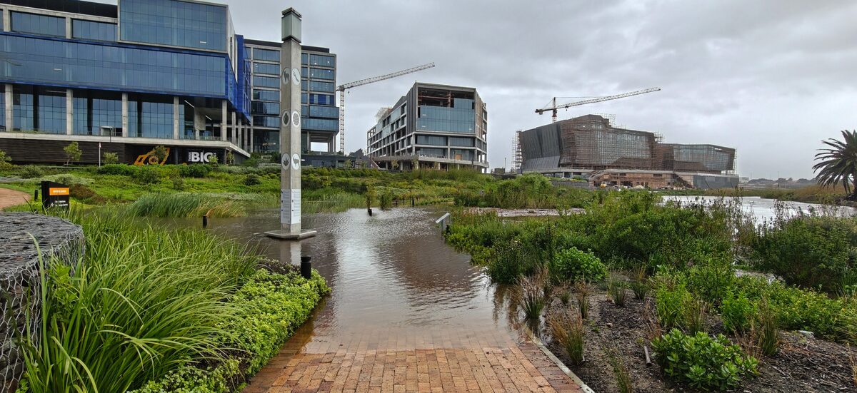
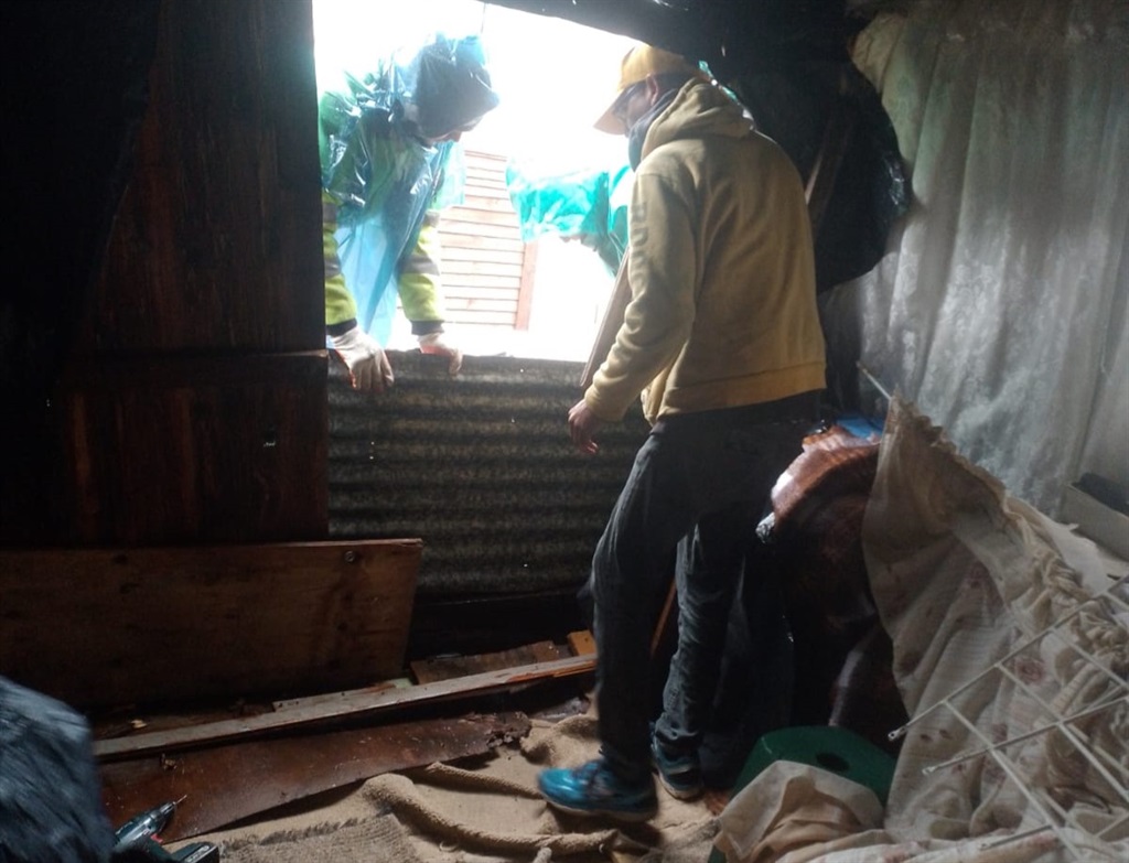
In the Upper Liesbeek River Garden, floodwaters washed large boulders used as stepping stones further downstream. In Newlands, a private property close to the river suffered structural damage to its foundations. In the lower reaches, where several major restoration projects are located, floodwaters caused erosion, vegetation damage and significant deposition of flood material.
“Damage has occurred. However, we do recognise flood disturbance as being part of the bigger ecological picture. Our sites are designed to absorb some flooding. It is just the frequency and severity of these events that is challenging us,” Fordyce said.
Are extreme floods becoming more frequent?
The Friends of the Liesbeek said it is difficult to confirm scientifically whether such events are becoming more frequent. However, the organisation noted a clear anecdotal increase in extreme weather patterns. “It would be difficult to say with scientific certainty without consulting academic studies, but anecdotally we feel we are dealing with more and more of these extreme events annually,” Fordyce said.
He also flagged the unusual timing of the storm as a concern. Historical data shows that Cape Town’s winter rainfall typically peaks in July and August. This event arrived significantly earlier, placing added strain on river systems. “This recent event is very early and poses a unique set of challenges,” he said.
Why restoration work remains critical
Despite the damage, the Friends of the Liesbeek said restoration work along the river remains more important than ever. Each project improves the river’s capacity to absorb floodwaters and reduces the impact on surrounding urban areas.
“What we are learning from these events is just how important our projects are. Even if damage occurs, each of these projects is actually enabling the river to absorb more floodwaters and act as a sponge, buffering the surrounding city from more extreme impacts,” Fordyce said.
The City of Cape Town had not responded to questions about flood damage assessments along the Liesbeek River at the time of publication