More than 100 years later, The Clarke-family – descendents of John Clarke who bought Lot 7 of Block 2 in Hankey in 1908 from the London Missionary Society – handed over an original map of the town, dating back to 1905, to Kouga Municipality on Monday, September 30. Clarke was appointed by the Cape Education Department as principal of the Hankey Government Primary School in 1907. Both the school building and house are still intact. The map, treasured by the Clarke-family for 111 years, will be displayed at the Sarah Baartman Centre of Remembrance once construction is completed. With the map are (from left) Anne Taylor, Berenice van der Merwe, John Clarke, Kouga Tourism and Local Economic Development Portfolio Councillor Frances Baxter and Martin Windvogel from Kouga Municipality. Photo:MONIQUE BASSON
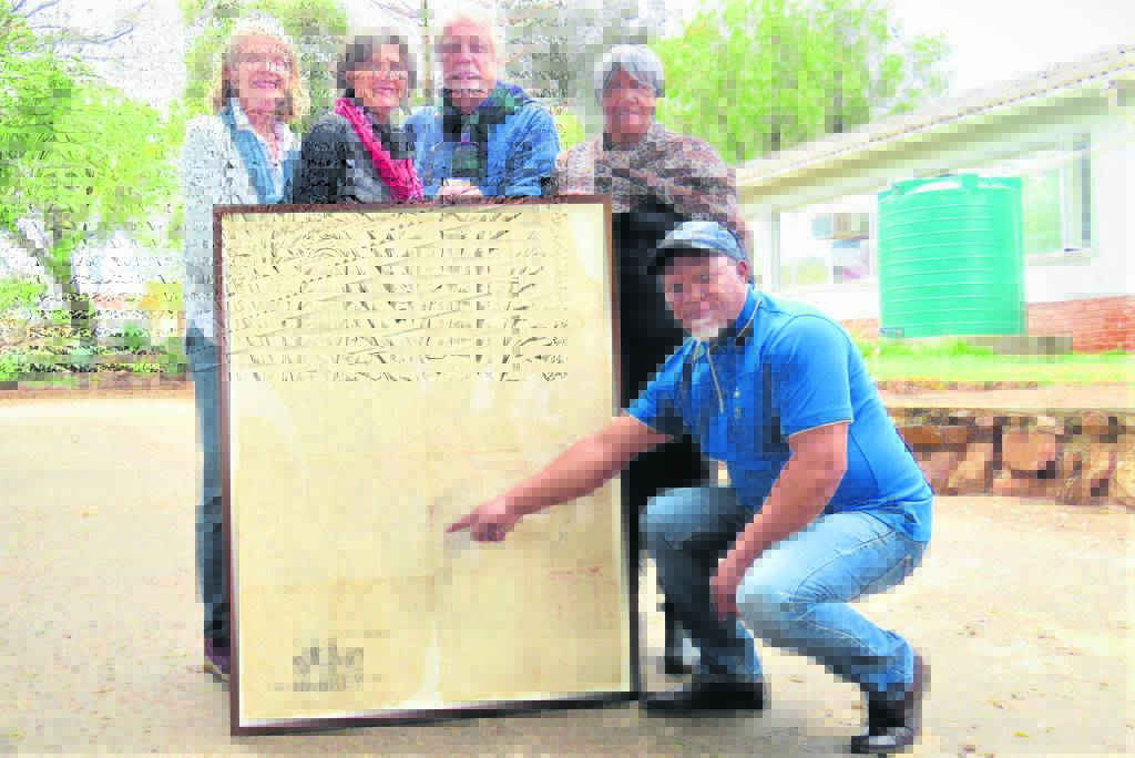
Historical map finds path to Hankey
NovaNews WhatsApp Channel is LIVE!
Get the stories that matter, straight to your phone. Click here to join NovaNews on WhatsApp or scan the QR code for instant access.